
Task:
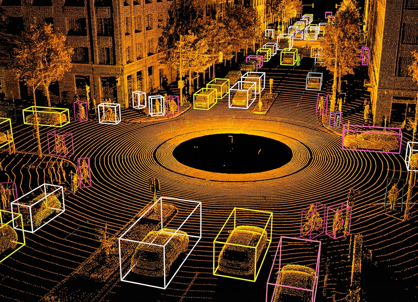
The client needed a highly detailed annotated dataset of LiDAR point clouds captured on city streets. This data was intended to improve spatial orientation and the accuracy of object classification and distance measurement models.
Solution
1. Use of Specialized Annotation Tools
We selected the optimal annotation tool for this project. While LiDAR clouds can be annotated in both 3D slicers and CVAT, we executed the project in Supervisely. The pilot phase was also conducted in CVAT to measure speed metrics and determine the most convenient and accurate contouring approach.
2. Multi-Level Annotation Process
Annotation was conducted in several stages. First, scenes were divided into parts to reduce data volume and simplify point-level annotation, with focus on complex areas. Each point cloud underwent both automatic verification and manual review, achieving 99% annotation accuracy.
3. Process Optimization
By testing annotation in multiple environments, we developed a stable workflow without significant delays. This refined process can be applied to future projects, reducing annotation time while maintaining high quality.
| Stage | Input | Workflow Scope | Main Quality Checks |
|---|---|---|---|
| 3D LiDAR Scene Preparation | Raw LiDAR scenes (large & small point clouds, Unidata-like formats) | Scene slicing, reduction of point density, normalization, preparation for annotation | Scene integrity after slicing / Point density consistency / No geometry loss |
| 3D Annotation | Prepared LiDAR scenes | Manual expert review by engineers or domain specialists (CAD / robotics background) | Correct object contours / Class consistency / Spatial accuracy |
| Expert Validation (3D QA) | Annotated LiDAR scenes | Aggregation, formatting, and dataset finalization | Geometry correctness / Object boundaries / Compliance with project-specific logic |
| Process Optimization | Optimized LiDAR scenes | Pilot testing in multiple annotation tools (Supervisely & CVAT), workflow refinement | Stable throughput / Minimal delays / Repeatable process |
The Results
- Annotation Accuracy: 99% – high-quality data enabled improved model training.
- Model Performance Boost: 3× increase in efficiency due to a more compact and precise dataset.
High-quality 3D LiDAR annotation is driven by domain expertise and structured workflows. Precision at this level comes from the right tooling, multi-stage verification, and expert review at every stage.

- Roman Lukoshin
- Speech and Generative Data Manager